By late afternoon on October 26, 2025, the India Meteorological Department issued its most urgent alert in years: a rapidly intensifying low-pressure system over the Bay of Bengal was on track to become Cyclone Montha, a severe storm poised to slam into the Andhra Pradesh coast by October 28. Winds could hit 110 km/h—strong enough to rip roofs off homes, flood coastal villages, and paralyze ports. What makes this especially dangerous isn’t just the storm’s power, but the chain reaction it’ll trigger across northern and central India—bringing unexpected rain to Delhi-NCR, Bihar, and Uttar Pradesh during the critical Chhath Puja festivities.
From Low Pressure to Catastrophe: The Storm’s Timeline
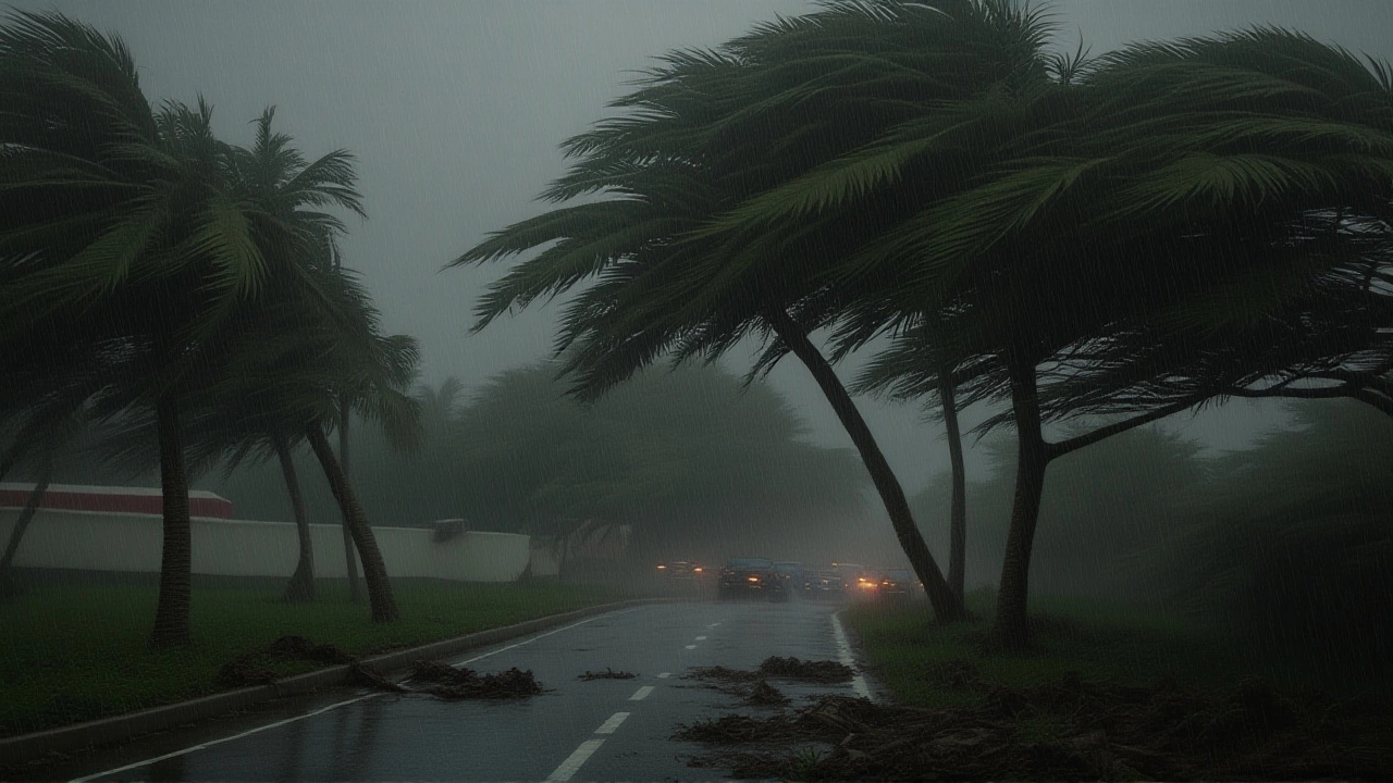
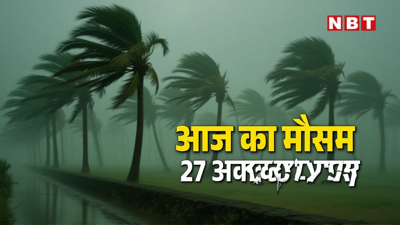
The system started as a modest depression over the southern Bay of Bengal on October 24. But in just 48 hours, it strengthened into a deep depression, then a cyclonic storm. By October 27, the India Meteorological Department confirmed it would intensify into a severe cyclonic storm—Category 2—before making landfall. The expected strike zone? Between Kakinada and Machilipatnam, near the town of Kalingapatnam, where tidal surges of 3 to 4 meters are forecast. The storm’s core is moving northwest, a path that’s unusually direct and fast.
Here’s the timeline:
- October 26: Deep depression over Bay of Bengal, winds at 65 km/h.
- October 27: Becomes Cyclone Montha, winds 85–90 km/h.
- October 28: Severe cyclonic storm, landfall between 6 PM and midnight, gusts up to 110 km/h.
- October 29–31: Weakened system moves inland, dumping heavy rain across Bihar, UP, Jharkhand, and Madhya Pradesh.
“This isn’t just a coastal event,” said Dr. Rajiv Mehta, a senior meteorologist with IMD. “The moisture plume is so massive, it’s feeding into the monsoon remnants over central India. Rainfall won’t stop when the cyclone dies—it’ll just change shape.”
Coastal Evacuations and Emergency Measures
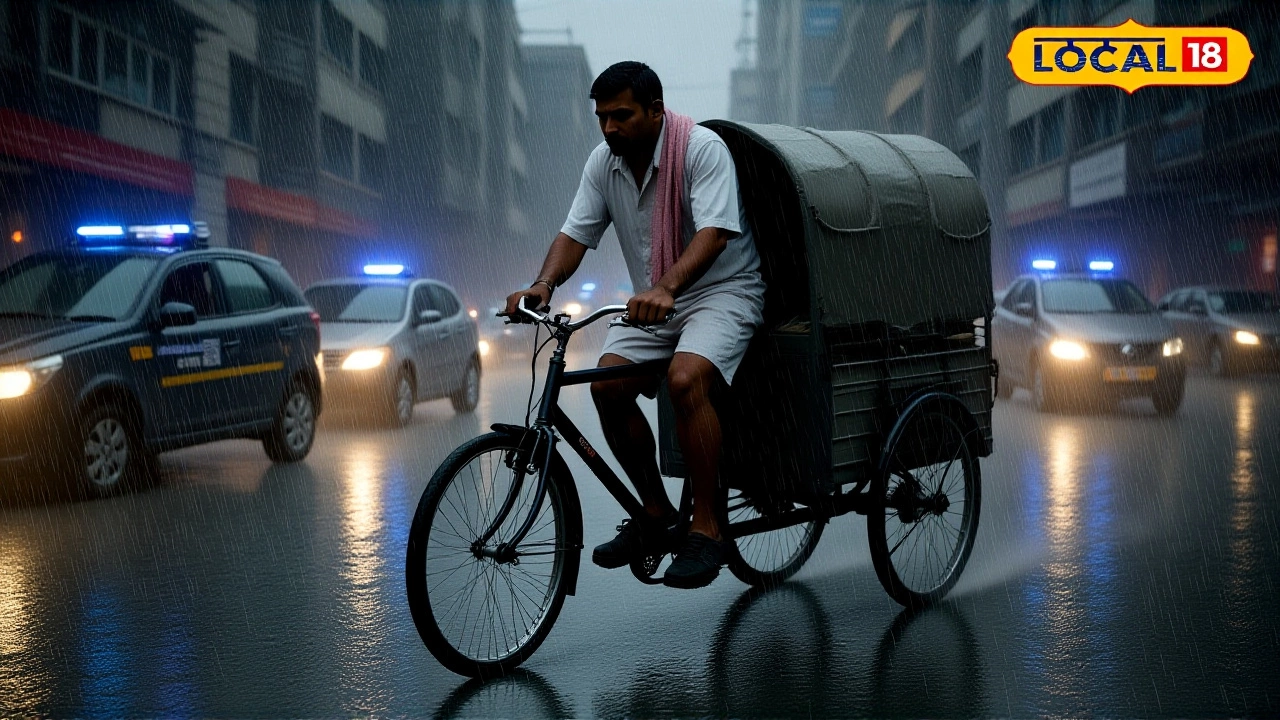
By October 26, the N. Chandrababu Naidu, Chief Minister of Andhra Pradesh, had convened an emergency meeting with district collectors, police chiefs, and disaster response teams. Over 80,000 people in low-lying areas of East Godavari and Krishna districts were evacuated to 420 relief centers. Fishing boats were ordered to stay ashore from October 26 to 29—strictly enforced by the Coast Guard.
Odisha and Tamil Nadu also activated their disaster response units. In Puducherry, schools shut early on the 27th. The India Meteorological Department warned of “extremely heavy rainfall” over 200 mm in 24 hours along the coast. In Visakhapatnam, sandbags were stacked along the seafront, and power crews were pre-positioned—knowing that 80% of outages in past cyclones occurred within the first 6 hours.
Why Delhi and Bihar Are Getting Soaked
Here’s the twist: Cyclone Montha isn’t just a coastal threat. As it moves inland after landfall, its remnant low will merge with a cold front sweeping down from the Himalayas. That collision—between warm, moisture-laden air from the Bay and cold, dry air from the north—creates what meteorologists call a “monsoon surge.”
That surge is what’s bringing rain to places that haven’t seen serious rainfall since September:
- Delhi-NCR: Rain expected on October 27–28, with temperatures dropping 5°C. Chhath Puja rituals on the 28th could be disrupted.
- Bihar and Eastern UP: Heavy showers from October 29–31, especially in Patna, Muzaffarpur, and Varanasi. River levels in the Ganges and Kosi are already rising.
- Jharkhand, Chhattisgarh, Madhya Pradesh: Isolated but intense downpours, triggering localized flooding in rural areas.
“We’ve seen this before—Cyclone Fani in 2019 caused flooding in Bihar even though it made landfall in Odisha,” said Dr. Anjali Sharma, climate researcher at the Indian Institute of Tropical Meteorology. “The system doesn’t die at the coast. It reorganizes over land and becomes a rain bomb.”
Unseasonal Snow in Himachal and Jammu
While the south braces for water, the north got an early winter surprise. Snowfall began in Manali and Lahaul-Spiti on October 24—nearly three weeks ahead of schedule. Temperatures in Shimla dropped to 4°C, and road closures are already reported on the Kalka-Shimla route. The India Meteorological Department says this is linked to the same upper-level jet stream disturbance that’s feeding Cyclone Montha.
“It’s not coincidence,” Dr. Sharma added. “Climate change is making these systems more erratic. Warmer oceans fuel stronger cyclones, and colder upper atmospheres push cold fronts south earlier. We’re seeing both extremes at once.”
What Comes Next
The next 72 hours are critical. If Cyclone Montha strengthens faster than predicted, the storm surge could breach coastal embankments in Andhra, affecting 1.2 million people. If it weakens slightly, the inland rain could be even heavier—especially in Bihar, where drainage systems are already overwhelmed.
Relief agencies like the National Disaster Response Force (NDRF) have pre-positioned boats and medical teams in Vijayawada and Cuttack. The Indian Army has been placed on standby for evacuation support.
Meanwhile, farmers in western UP and Madhya Pradesh are racing to harvest their standing wheat crops before the rain hits. In Patna, school buses are being converted into temporary shelters.
Frequently Asked Questions
How will Cyclone Montha affect Chhath Puja celebrations in Delhi and Bihar?
Chhath Puja rituals on October 28–29 require devotees to stand in water at dawn and dusk. With rain expected in Delhi-NCR and Bihar, many families are relocating to covered ghats or postponing rituals. Authorities in Patna and Varanasi are setting up covered platforms, but water levels in the Ganges may rise, making traditional offerings risky.
Why is a cyclone in the Bay of Bengal causing rain in North India?
Cyclone Montha is pulling in massive amounts of moisture from the Bay. As it moves inland, this moisture collides with a cold front descending from the Himalayas. This creates a prolonged rain band stretching from Madhya Pradesh to Bihar—similar to what happened in 2019 with Cyclone Fani, which caused floods over 1,000 km from the coast.
Is this cyclone linked to climate change?
Yes. Sea surface temperatures in the Bay of Bengal are 2–3°C above average this year, giving cyclones more energy to intensify rapidly. The frequency of severe cyclones has doubled since 2000. This pattern—stronger storms, heavier inland rain, and early snow in the Himalayas—is consistent with climate models predicting increased extreme weather events across South Asia.
What should people in Bihar and UP do to prepare?
Keep emergency kits ready: bottled water, non-perishable food, flashlights, and first-aid supplies. Avoid low-lying areas near rivers. Check local alerts via the IMD app or toll-free number 107. If power fails, use battery-powered radios. Schools and community centers in Patna, Muzaffarpur, and Gorakhpur are being turned into shelters—register early if needed.
How does this compare to past cyclones like Amphan or Fani?
Cyclone Amphan (2020) was stronger (240 km/h winds) but made landfall farther north in West Bengal. Montha is smaller but faster-moving and more directly aimed at Andhra’s vulnerable coastline. Unlike Fani (2019), which weakened quickly, Montha’s inland moisture is expected to cause prolonged rain over a wider area—making it a dual threat: coastal destruction and inland flooding.
Are flights and trains being canceled?
Yes. Over 40 flights from Visakhapatnam, Vijayawada, and Bhubaneswar have been canceled through October 29. Indian Railways has suspended 18 long-distance trains between Hyderabad, Chennai, and Kolkata. Passengers are advised to check IRCTC alerts or call 139. Coastal road traffic is restricted in Andhra and Odisha.